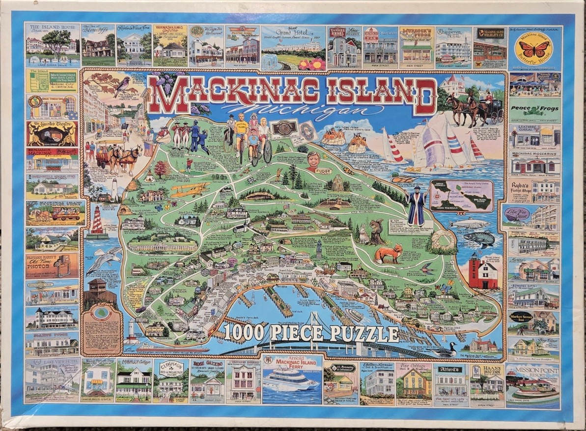
This illustration features a vibrant pictorial map of Mackinac Island set against a cream-colored background, bordered by a blue frame containing smaller, distinct vignettes of historical buildings and local businesses. The central map is rendered in a soft, illustrative style, showcasing the island's geography, winding paths, and significant landmarks like the Arch Rock, a lighthouse, and forested areas. A horse-drawn carriage, sailboats, and a ferry boat represent the island's unique mode of transportation, while small drawings of a fox, a squirrel, and local fish add natural detail to the landscape.
The overall color palette is bright and inviting, featuring pastel greens, earthy browns, and crisp blues. The typography for "MACKINAC ISLAND" at the top is bold and decorative, reminiscent of vintage travel posters. Surrounding the central island map are numerous individual panels illustrating the island's various hotels, restaurants, and shops, each neatly labeled. These vignettes create a detailed mosaic effect, providing a comprehensive visual guide to the island's bustling main streets and serene natural spots.
The composition is highly detailed and educational, functioning like a souvenir travel map. The mixture of topography, architectural highlights, and whimsical sketches of local flora and fauna gives the piece a nostalgic and bustling atmosphere. The artwork effectively captures the charm of a historic vacation destination, blending functional geographical representation with artistic, storybook-like charm.