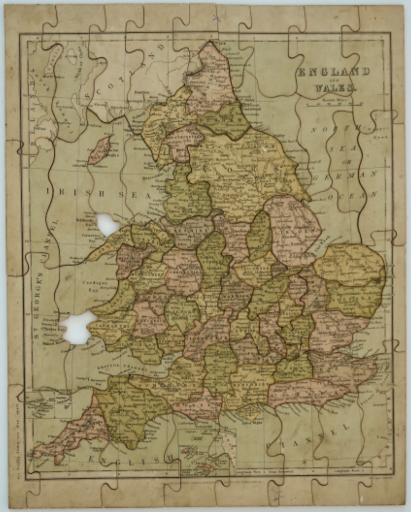
This antique map depicts the countries of England and Wales, presented in a classical cartographic style. The focus is on the geographical divisions of the counties, which are distinctly outlined in dark ink. The landmass is centrally positioned, surrounded by the Irish Sea to the west, the North Sea or German Ocean to the east, and the English Channel to the south.
Technically, the map features a monochromatic, sepia-toned aesthetic, characteristic of aged parchment or historical print media. The individual counties are shaded in alternating muted tones of pale pink, light green, and tan, providing visual separation while maintaining an understated, vintage appearance. Fine black lines trace rivers and coastlines, while intricate, hand-drawn typography identifies regional names and bodies of water.
The layout includes a traditional grid system with latitude and longitude markers framing the map's border. Text labels such as "ENGLAND AND WALES" appear in the upper right corner, accompanied by a small scale bar. The overall mood is scholarly and historical, reminiscent of 18th or 19th-century geography study tools. The surface shows minor signs of age, including subtle discoloration and uneven textures that enhance its antique character.