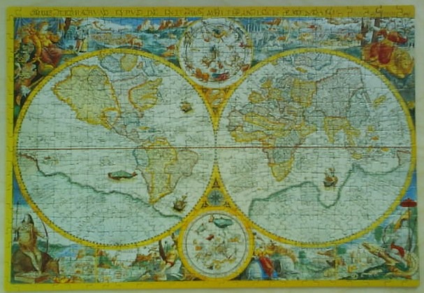
This image depicts a decorative 17th-century style world map rendered in a double-hemisphere format. The two large circular maps dominate the composition, presenting the Western and Eastern Hemispheres as they were understood during the Age of Discovery. The continents are rendered in muted earth tones, featuring outdated coastlines and cartographic details that reflect the era's geographic knowledge.
The layout is highly ornate, framed by elaborate marginal illustrations. The four corners and the areas between the hemispheres are filled with allegorical figures, ships, and celestial motifs. Two smaller circular panels, one centered above and one below the hemispheres, display detailed astrological or astronomical charts featuring zodiac signs and celestial constellations. The overall aesthetic is that of a historical parchment, characterized by a sepia and parchment-toned palette highlighted with faded blues, yellows, and reds.
The artwork evokes the style of classic copperplate engravings common in early cartography. The border is inscribed with stylized text, and the entire scene is rich with period-appropriate artistic embellishments, including mythological figures depicted in the corners and intricate line work throughout. The light is soft and uniform, suggesting the texture of an antique manuscript or printed map.