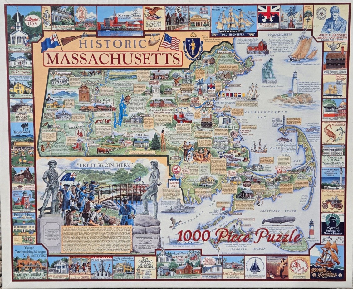
This detailed pictorial map of Massachusetts serves as the central focal point, surrounded by a border of individual vignettes depicting various historical sites and landmarks. The map itself is filled with miniature illustrations of buildings, icons, and historical figures, labeling key cities, towns, and geographical features like Boston Harbor and Cape Cod. Within the lower left quadrant, a larger illustration depicts a Revolutionary War scene, featuring soldiers standing by a wooden bridge with the text "LET IT BEGIN HERE" displayed prominently above them.
The layout is densely packed and educational, utilizing a cream-colored background for the main map area to provide high contrast for the illustrations and text. The surrounding border consists of rectangular panels, each showcasing specific landmarks such as the Old North Church, the USS Constitution, and various local museums or historic homes. These smaller vignettes act as a gallery of the state's heritage, adding depth and narrative context to the overarching map.
The color palette is vibrant yet balanced, relying on soft, painterly tones of blue, green, and earthy browns to differentiate land from water and terrain. The artistic style is that of a classic hand-drawn map illustration, reminiscent of mid-20th-century travel or history posters. The typography is varied, utilizing clean, serif fonts for labels and descriptive text boxes scattered across the map, which provide small historical facts about specific locations.