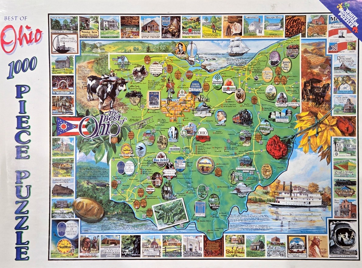
This detailed illustrated map of Ohio serves as a collage of the state's most iconic locations and historical elements. The central map is rendered in shades of green and blue, populated by numerous circular vignettes showcasing local museums, natural wonders, and cultural touchstones. A large, prominent illustration of a black and white cow stands in the upper left, while a red carnation—the state flower—is pinned to the right side of the map with a leafy stem, adding a vibrant pop of colour.
The entire composition is framed by a decorative border made of additional rectangular inset paintings depicting landscapes, vintage buildings, and various historical scenes. A classic steamboat floats in the bottom right corner, near the edge of the map, while the Ohio state flag is displayed prominently on the left. The overall style is that of a nostalgic travel poster, blending cartography with anecdotal illustration to celebrate the geography and heritage of the region.
The colour palette is varied and rich, transitioning from the lush greens of the inland map to the deep blues of the surrounding water and sky. Light is used to create a cheerful, sun-drenched atmosphere throughout the scenes. Small text labels identifying specific towns, monuments, and historical dates are scattered across the map, enhancing the documentary feel of the artwork while maintaining a cohesive, artistic presentation.