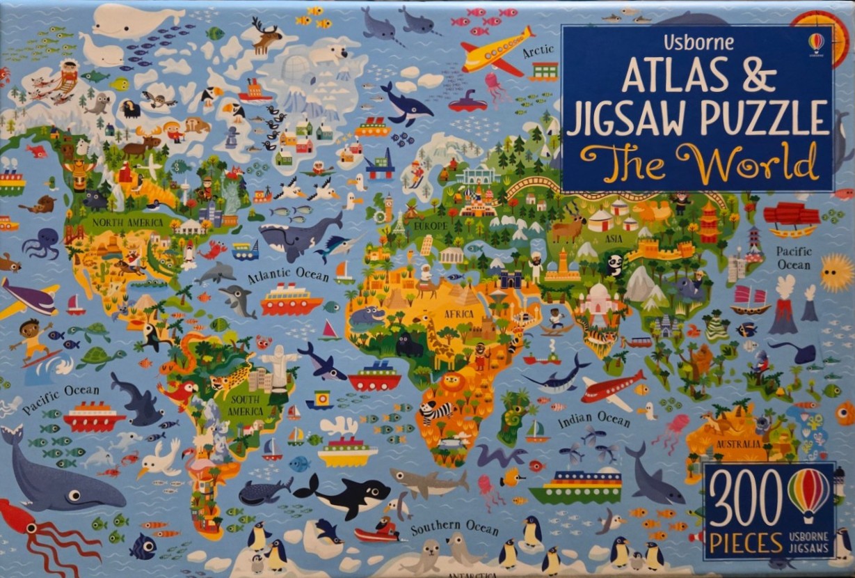
This illustration depicts a vibrant, cartoon-style world map filled with diverse flora, fauna, and cultural icons. Each continent is color-coded, showcasing prominent landmarks such as the Eiffel Tower in Europe, the Pyramids in Africa, the Taj Mahal in Asia, and Christ the Redeemer in South America. The map is densely populated with animals native to each region, including pandas, giraffes, kangaroos, and penguins, all rendered in a friendly, whimsical art style.
Surrounding the landmasses, the blue oceans are teeming with activity, featuring various species of whales, sharks, dolphins, and schools of fish. Numerous forms of transportation, including cruise ships, cargo vessels, airplanes, and sailboats, are scattered across the seas and skies, suggesting a bustling, interconnected globe. A large blue text box is positioned in the upper right corner, while a smaller label in the lower right indicates the piece count.
The overall colour palette is bright and inviting, utilizing high-contrast primary and secondary colours to distinguish between different geographical regions. The aesthetic is clean, playful, and educational, designed with clear, thick outlines and flat, bold shading typical of modern children’s book illustrations. The perspective is a standard Mercator-style map projection, providing a wide, bird's-eye view of the entire planet, from the icy reaches of Antarctica at the bottom to the Arctic at the top.