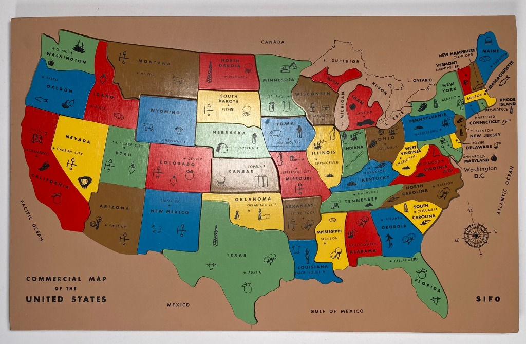
This vintage-style, stylized map of the United States of America is set against a plain, light-brown background representing surrounding countries and bodies of water. The map features the contiguous states, each individually coloured in shades of blue, red, yellow, green, or brown. The state names are clearly printed in black, along with their respective capital cities marked by small stars.
The map's aesthetic is educational and illustrative, reminiscent of mid-century school wall hangings. Within each state, small line-art icons represent major industries, resources, or regional specialties, such as crops, livestock, or architectural landmarks. A compass rose is located in the Atlantic Ocean area, and bodies of water like the Great Lakes and the Gulf of Mexico are labeled.
The overall colour palette is warm and muted, consistent with the sepia-toned backdrop. The labels for external regions, such as Canada and Mexico, frame the main map. The lower left corner displays the text, "COMMERCIAL MAP OF THE UNITED STATES," while the bottom right corner features the word, "SIFO." The style is clean, graphic, and highly readable, prioritizing clarity and regional identification.