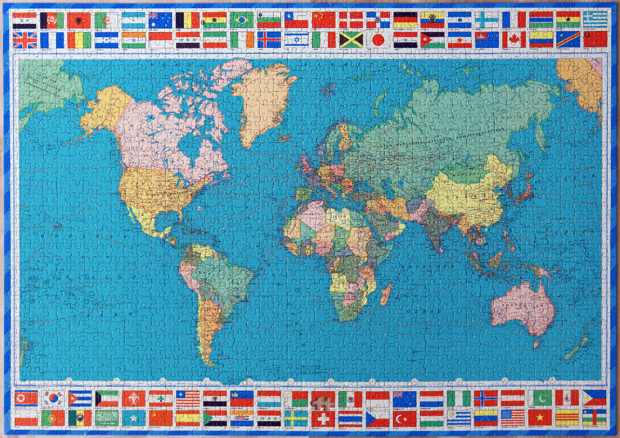
This vintage-style political map of the world features a classic cartographic projection with a large, bright blue expanse representing the oceans. The continents are rendered in soft, muted pastel tones, including shades of yellow, green, pink, and tan to distinguish individual countries. The map labels are written in German, with distinct text detailing country names, regions, and geographical features such as mountain ranges and bodies of water.
The entire map is framed by a decorative border containing a grid of national flags from around the globe, arranged along the top and bottom edges. The flags are depicted in their characteristic colours and patterns, providing a colorful and patriotic frame for the central map. A subtle grid of latitude and longitude lines overlays the oceans and landmasses, enhancing the classic, scholarly aesthetic.
The overall lighting is even and flat, typical of an atlas or educational reference tool, ensuring all text is legible against the pastel land and vibrant blue water. The style is that of a mid-20th-century physical-political wall map, characterized by its clear, instructional typography and clean lines. The composition is balanced and symmetrical, with the dense collection of flags providing a structured perimeter that contrasts with the fluid shapes of the continents and islands in the center.