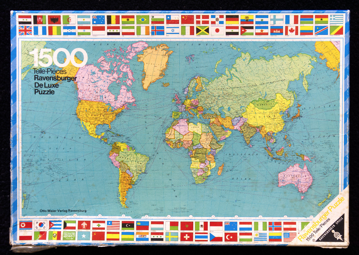
This vintage-style world map features a traditional Mercator-style projection with a soft, muted colour palette set against a pale blue ocean background. The continents are divided into pastel-toned sections representing different nations, with fine black lines indicating international borders and geographic labels in German. The map is centered, emphasizing the vast expanse of the major oceans, which are dotted with faint, thin shipping routes and lines of latitude and longitude.
The entire map is framed by a decorative border consisting of dozens of small, rectangular national flags arranged in neat rows along the top and bottom edges. The flags are brightly coloured, providing a vibrant contrast to the more subdued tones of the map itself. The typography throughout the image is clean and functional, consistent with classic educational cartography.
The overall aesthetic is that of a mid-20th-century classroom pull-down map or a reference illustration. The map reflects a historical geopolitical landscape, including references such as the "Union der Sozialistischen Sowjetrepubliken." The composition is balanced and symmetrical, designed for educational clarity and archival reference.