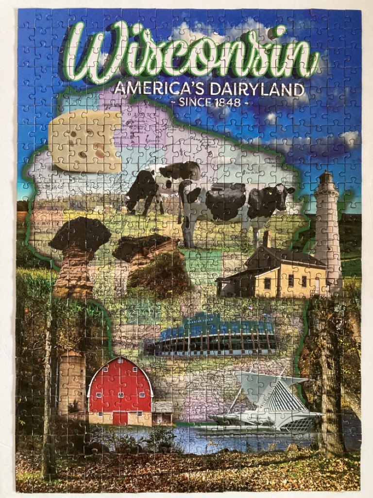
This illustrative map of Wisconsin is presented as a collage of iconic state imagery set within the geographical silhouette of the state. At the top, the word "Wisconsin" is written in a stylized, light-green script, accompanied by the text "America's Dairyland - since 1848." The background is a vibrant, deep blue sky filled with wispy white clouds that transitions into the textured, semi-transparent outline of the state.
The interior of the map is composed of various scenes layered over a faded topographical backdrop. Prominently featured are a black and white Holstein cow, a large wedge of Swiss cheese, and a rustic red barn. The landscape includes architectural landmarks such as a tall white lighthouse, an iconic stadium, and a modern, angular museum building. Natural formations like unique rock pillars add variety to the scene. The bottom foreground transitions into a wooded, autumnal forest floor with fallen leaves, grounding the various elements.
The overall colour palette is rich and diverse, contrasting the deep blues of the sky and water with the warm browns, greens, and reds of the rural and architectural elements. The lighting throughout the collage is bright and natural, giving the disparate images a cohesive, sun-drenched appearance. The artistic style blends photographic elements with digital layering to create a patriotic, travel-poster aesthetic that celebrates the state's cultural and natural heritage.