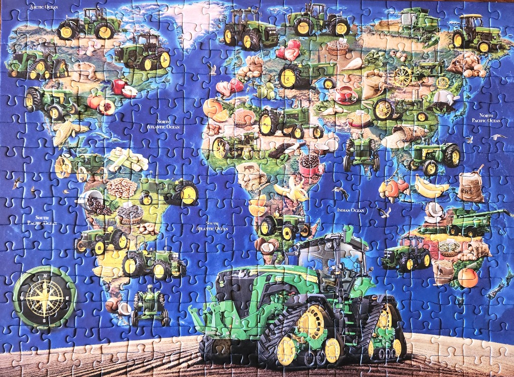
This illustration presents a stylized world map set against a deep blue ocean background. Scattered across the continents are numerous green tractors of various models and vintages, interspersed with illustrations of agricultural produce such as fruits, grains, nuts, and vegetables. A large, prominent green tracked tractor sits at the bottom center, anchoring the composition against a stylized brown, plowed-field foreground.
The layout serves as a thematic collage, blending geography with farming equipment. Each continent features a selection of tractors positioned alongside local food staples, such as bananas near the equator, coffee beans, and various legumes. A circular compass rose is visible in the bottom-left corner, and ocean names like the Arctic, Atlantic, and Indian Oceans are labeled in white text across the water areas. The overall style is illustrative and educational, emphasizing a connection between global agriculture and farming machinery.
The color palette is dominated by deep blues in the background, which contrast sharply with the vibrant yellow-and-green theme of the tractors. The agricultural items add spots of warm earth tones, reds, and yellows throughout the landmasses. The lighting is bright and even, giving the entire image a clean, graphic quality typical of a promotional or instructional poster.