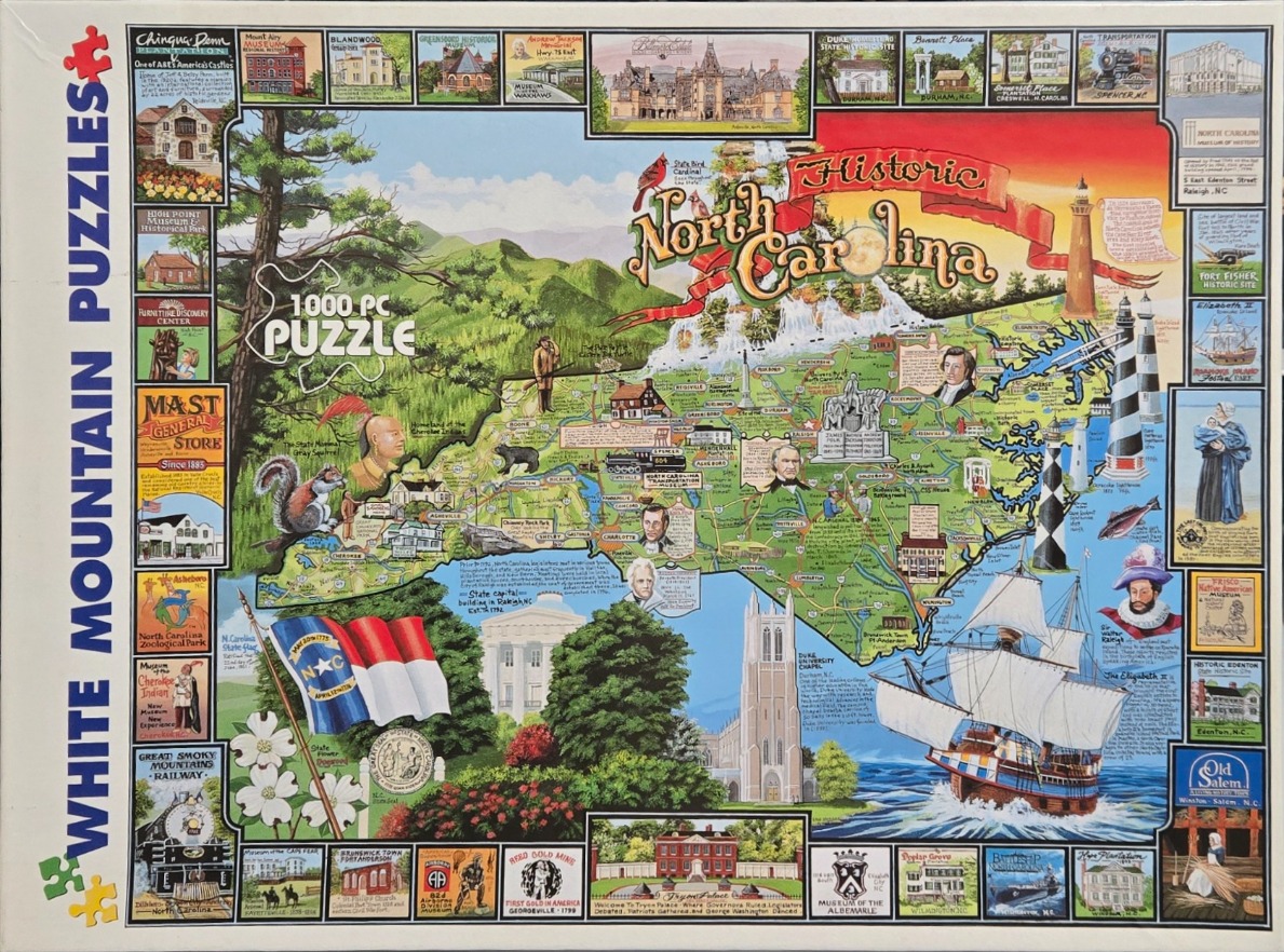
This detailed, colorful illustration functions as a pictorial map of North Carolina. The central map area showcases the state's geography, stretching from the blue Appalachian Mountains in the west to the Atlantic coastline in the east. Interspersed across the map are various illustrations, including state symbols like the cardinal and flowering dogwood, historical figures, local wildlife such as a gray squirrel and black bear, and landmarks like the Duke University Chapel. The text "Historic North Carolina" is prominently displayed in a bold, red banner at the top, accompanied by a waterfall illustration.
The map is bordered on the left, top, and bottom by a decorative frame containing numerous smaller vignettes. These square images depict specific historical sites, museums, and educational institutions across the state, ranging from plantations and transportation museums to specialized landmarks. These vignettes are neatly arranged, adding a supplementary layer of historical context to the main map.
The artwork style is reminiscent of a classic hand-drawn travel map, using a vibrant color palette of greens, blues, and warm earthy tones. The composition is dense, packing a wealth of geographical and historical information into the frame. A large sailing ship occupies the lower right corner, cutting through the blue Atlantic waters, while the bottom of the map features the North Carolina state flag and floral symbols, creating a patriotic and educational atmosphere.