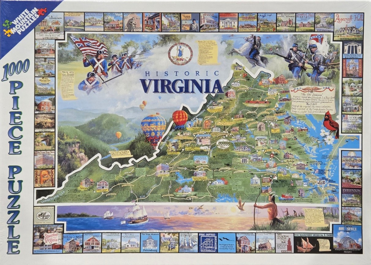
This detailed collage-style illustration features a large, stylized map of Virginia set against a backdrop of rolling mountains and sky. The central map is annotated with numerous historical sites, towns, and geographical features like the Blue Ridge and Allegheny mountains. Large, colorful hot air balloons float over the western mountain ranges, while soldiers from the Revolutionary War and Civil War are depicted in the upper section alongside the official state seal. To the lower right, a cardinal bird perches near a depiction of the Chesapeake Bay, and a Native American figure with a bow stands near the water.
The overall composition is framed by an extensive border of smaller, individual illustrations showcasing specific historical buildings, museums, and landmarks across the state. These vignettes include sites like Agecroft Hall, the Marine Corps Museum, and various plantations. A banner in the top center displays the title "HISTORIC VIRGINIA" in bold blue text, with a text block on the right side providing historical context.
The colour palette is vibrant and varied, utilizing earthy greens for the topography, bright blues for the water and sky, and warm sunset oranges in the bottom border area. The illustration style is traditional and detailed, reminiscent of a historical poster or souvenir map. Light sources appear soft and diffuse, highlighting the lush landscape and the historical scenes within the vignettes.