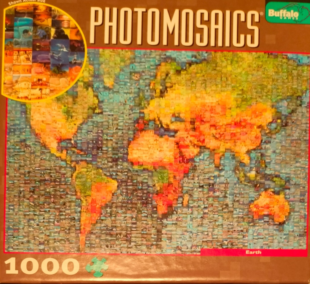
The central image is a detailed world map rendered as a photomosaic. From a distance, the continents of North and South America, Africa, Europe, Asia, and Australia appear as golden and orange landmasses against a vast, deep blue ocean background. The shapes of the continents are clearly defined by the concentration of warm-toned images, while the oceans are represented by a grid of cooler-toned pictures.
Upon closer inspection, the entire map is constructed from a grid of thousands of small, distinct photographs. Each tiny square contains a unique scene, varying in subject matter from landscapes and cityscapes to travel snapshots and nature photography. The composition relies on the precise arrangement of these individual tiles to replicate the colours and contours of a globe, creating a complex, multi-layered visual experience where the overall image of the map is composed entirely of disparate, miniature pictorial elements.
The overall aesthetic is digital and illustrative, highlighting the intersection of macro-level geography and micro-level photography. The light and colour palette are carefully balanced to ensure that the individual photographs blend seamlessly to form the larger cohesive map. The transitions between the land and sea are marked by shifts in the average hue of the small images, moving from the bright, sun-drenched colours of the land to the muted, aquatic tones of the sea.