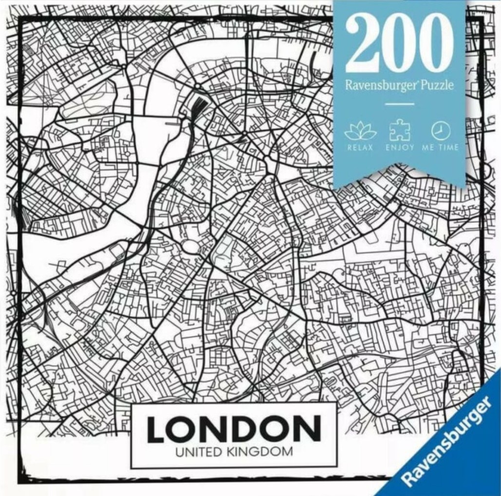
This graphic illustration depicts a stylized, minimalist map of London, United Kingdom. The design is presented in a stark black-and-white color palette, with thin black lines defining the intricate network of streets, roads, and city blocks set against a clean white background. A prominent, curved path cuts through the center, representing the winding River Thames, which serves as the primary focal point of the geographical layout.
The composition is framed by a bold black border that reinforces the map's clean, structured aesthetic. In the lower portion of the image, a rectangular text box clearly identifies the location with the word "LONDON" in large, bold, sans-serif capital letters, followed by "UNITED KINGDOM" in smaller text beneath it. The artistic style is clinical and modern, resembling a high-contrast technical drawing or a simplified urban planning schematic.
The overall mood is organized, sophisticated, and utilitarian. By reducing the complex urban sprawl of the capital to simple geometric lines and intersections, the image emphasizes the flow and connectivity of the city's infrastructure. The contrast between the heavy black ink and the stark white negative space creates a sharp, visually arresting aesthetic suitable for a modern graphical display.