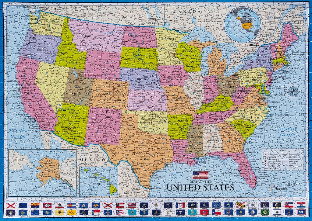
This political map illustrates the United States, featuring distinct color-coded states across the continental mainland. Each state is clearly labeled with its name and primary cities, set against a pale blue background representing the surrounding oceans and bordering countries like Canada and Mexico. An inset box in the lower left corner provides geographical context by including Alaska and Hawaii, while a compass rose and a legend are positioned to the right of the map.
The aesthetic is functional and educational, utilizing a palette of muted pinks, greens, tans, and yellows to differentiate state borders. The map includes geographic details such as major water bodies, state capitals, and urban centers, all presented with clear, sans-serif typography. In the upper right corner, a small inset globe highlights the North American continent.
A horizontal border running along the bottom of the frame showcases the individual flags of all fifty states, arranged in alphabetical order. Centered near the bottom, the title reads "MAP OF THE UNITED STATES," accompanied by a small depiction of the American flag. The overall composition is clean and orderly, characteristic of a classic classroom wall map design.