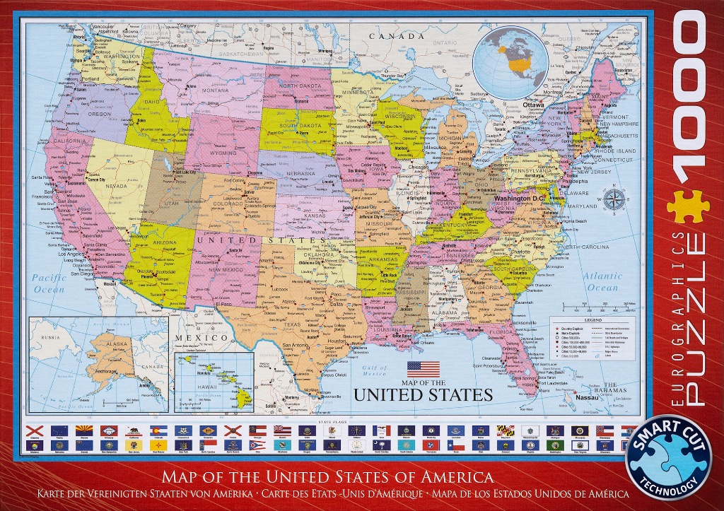
This illustration features a detailed political map of the United States of America. The central focus is the contiguous United States, where each state is color-coded in shades of yellow, tan, blue, green, and pink, creating a vibrant, patchwork effect. Black text clearly labels the name of each state and major cities. The surrounding oceans are rendered in a pale blue, with geographical borders extending to include Canada to the north and Mexico to the south.
In addition to the main map, the composition includes two distinct inset boxes in the bottom left corner, detailing Alaska and Hawaii. At the top right, a smaller, circular globe shows the North American continent in relation to the rest of the world. A legend in the bottom right corner provides a key for symbols representing capital cities, major urban centers, and infrastructure like highways and international borders.
Running along the bottom margin is a row of small, square icons depicting the individual state flags of the U.S. The overall aesthetic is that of a professional, educational cartographic reference, utilizing high-contrast lines and legible typography against a clean, light-colored background. The entire display is framed with a professional, grid-like border, emphasizing its function as an informative geographic resource.