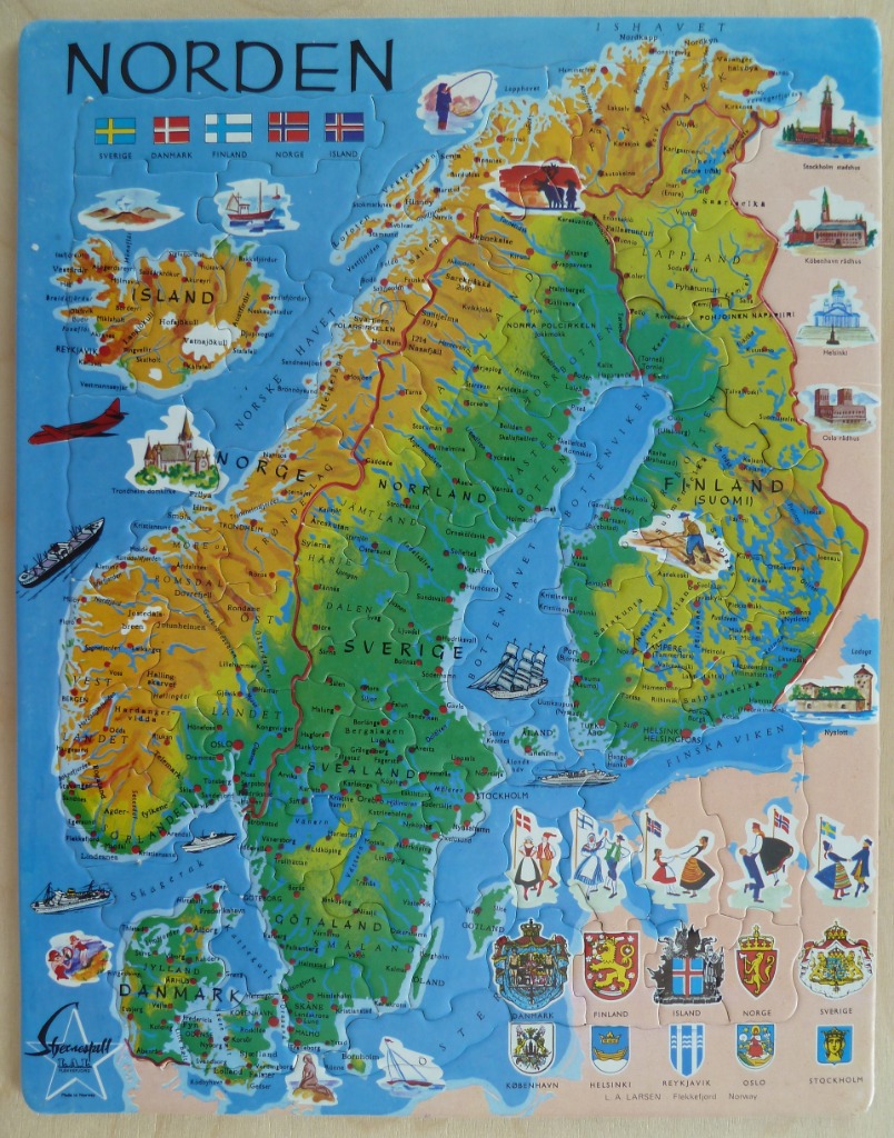
This illustrative map of the Nordic region features the countries of Norway, Sweden, Finland, Denmark, and Iceland set against a light blue ocean background. The landmasses are rendered in topographical colors, with varying shades of green, yellow, and orange depicting regional elevations and terrains. Countries and key regions are clearly labeled, with the title "NORDEN" prominently displayed in the upper left corner.
The map is framed by decorative vignettes reflecting Scandinavian culture and geography. Along the top and sides, small illustrations depict famous landmarks, such as city halls and cathedrals from capitals like Oslo, Helsinki, Stockholm, and Copenhagen. Near the bottom, traditional dancers in folk costumes are shown alongside the heraldic coats of arms for the various nations and cities. A row of national flags is lined up across the top, providing a colorful cultural reference.
The overall aesthetic is that of a bright, educational classroom wall map. The colors are vivid and saturated, emphasizing the clear distinction between land and water. The composition is highly detailed, combining geographical data like city names and bodies of water with whimsical artistic additions, such as a small fishing boat, a red airplane, and a person skiing, which highlight the character of the region. The map provides a comprehensive visual overview of the North in a playful, accessible format.