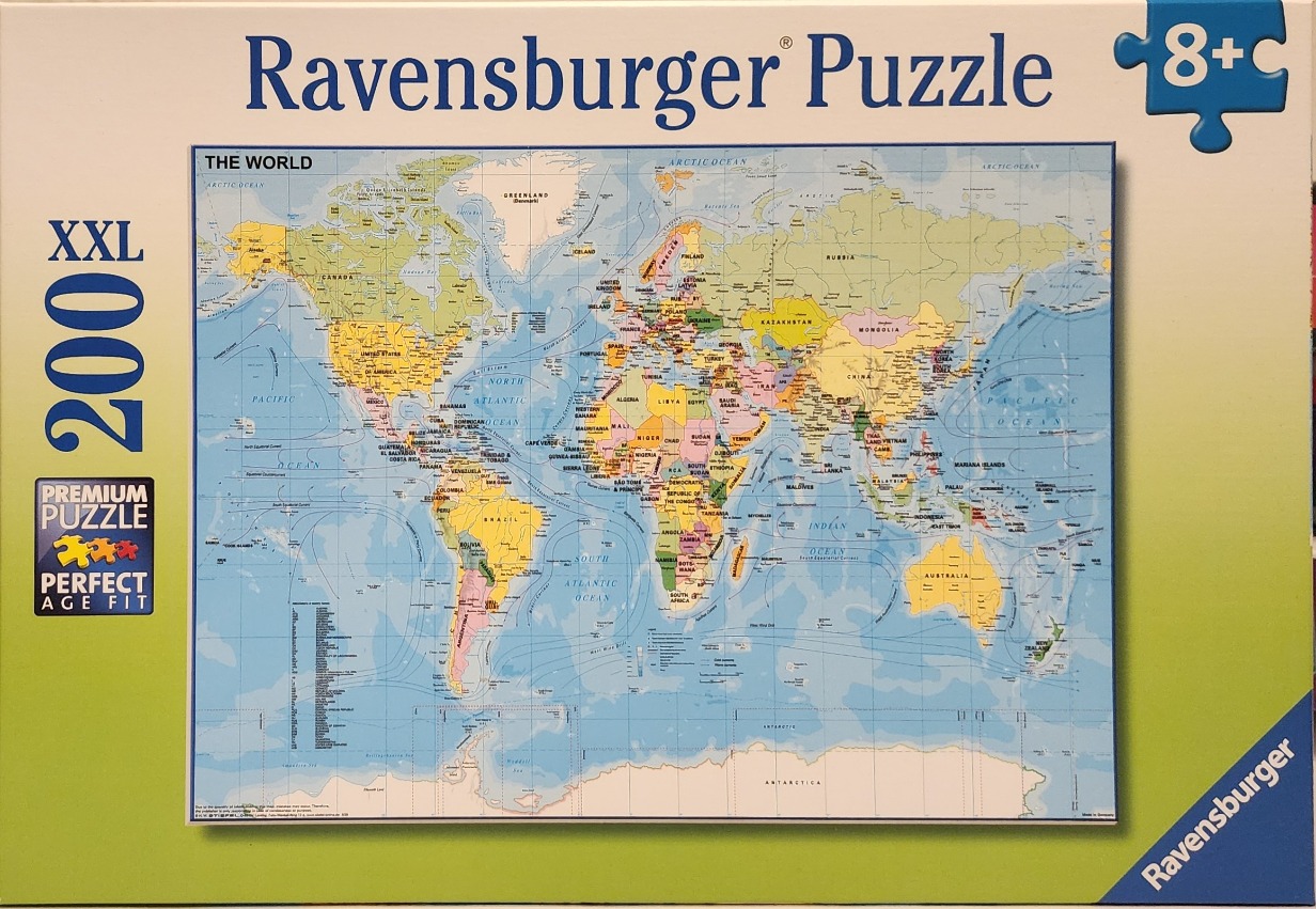
This image features a detailed political world map, presented in a standard projection. The continents are depicted in various soft, pastel hues—including shades of yellow, green, orange, and pink—which help to visually distinguish the borders between countries. The vast expanse of the ocean is rendered in a light, watery blue, overlaid with faint, curving lines representing major ocean currents. The map includes crisp, clear labeling for country names, major cities, and bodies of water, maintaining high legibility throughout the landmasses.
Compositionally, the map follows a traditional grid layout, with clear longitude and latitude lines visible across the surface. Antarctica is shown in white at the very bottom, framing the bottom edge of the world view. The style is that of a modern educational reference chart or wall map, characterized by a clean, minimalist design and functional cartographic aesthetics. The overall tone is informative and neutral, providing a comprehensive overview of global geography with a focus on clarity and accessibility.