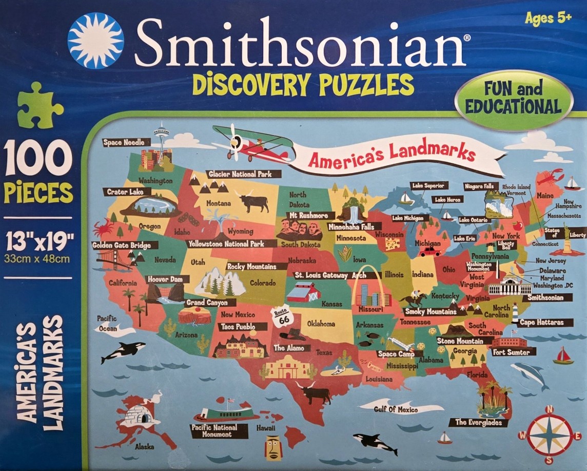
This illustration features a colourful, cartoon-style map of the United States, including Alaska and Hawaii, designed for educational exploration. The map uses a variety of flat, bold colours to distinguish individual states, with a cream-coloured banner across the top bearing the text "America's Landmarks." A vintage-style biplane is depicted soaring above the map, connecting the visual regions.
Scattered across the map are small, representative illustrations of famous landmarks and natural wonders. Examples include the Golden Gate Bridge in California, the Grand Canyon in Arizona, the Statue of Liberty in New York, and the St. Louis Gateway Arch in Missouri. These icons are placed over their respective geographical locations, accompanied by text labels that identify the landmarks, state names, and regional features like the Great Lakes or mountain ranges.
Oceanic borders are rendered in a deep, cool blue, with small illustrations of marine life such as whales and sailboats positioned in the surrounding waters. A classic compass rose sits in the bottom right corner, orienting the viewer. The overall style is whimsical and friendly, with a clean graphic design approach that emphasizes clear, simplified imagery and bright, primary-adjacent colours to make the geography easy to read and engage with.