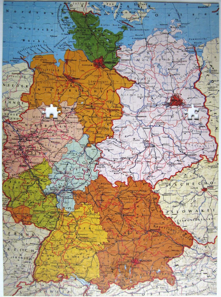
This image displays a detailed geographical map of Germany, presented in an illustration style typical of educational cartography. The map showcases the country's various states, each highlighted with different muted tones—including shades of yellow, orange, light purple, and soft green—to clearly delineate regional borders. Major cities, town names, and extensive highway and railway networks are intricately labeled across the surface, providing a dense and informative visual layout.
The composition is vertical and covers the entirety of the national territory, extending slightly into surrounding neighboring countries. The North Sea and Baltic Sea are visible at the top, colored in a pale, water-like blue, while the southern reaches of the map transition into the terrain of neighboring nations. The typography is clear and varied in size to reflect the importance of different urban centers and topographical features.
The overall color palette is warm and earthy, characterized by parchment-like paper tones for the background and soft, distinct hues for the political boundaries. The lighting is even and flat, consistent with a high-resolution print or scan, ensuring that all topographical details, mountain range labels, and administrative regions remain legible. The design emphasizes clarity and academic precision, serving as a comprehensive snapshot of mid-to-late 20th-century German geography.