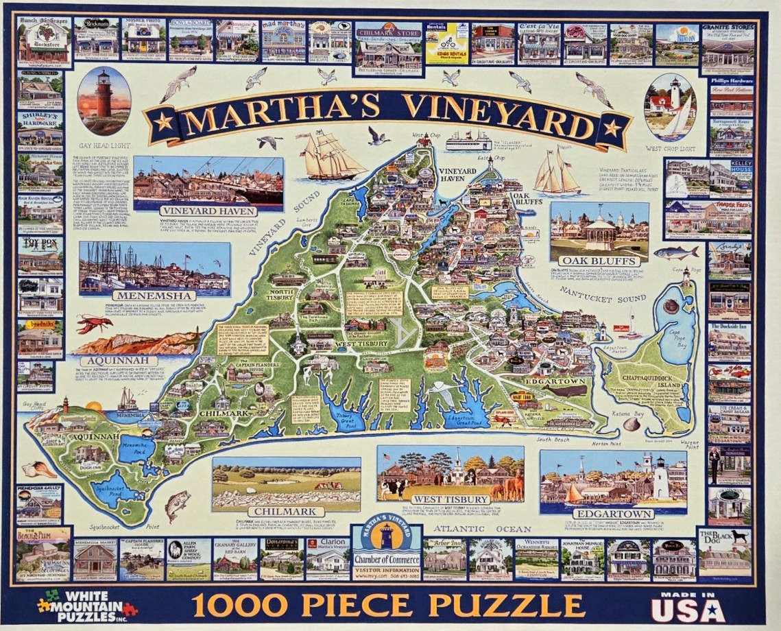
This illustration depicts a stylized, artistic map of Martha's Vineyard, oriented to fill the center of the frame. The island is rendered in varying shades of green, showing winding roads, town names, and descriptive historical text boxes scattered across its landscape. The surrounding waters are a light, cream-colored backdrop, featuring artistic renderings of sailing vessels and maritime creatures like a lobster and fish. At the top, the words "Martha's Vineyard" are displayed in a large, bold banner.
The main map is bordered on all four sides by a decorative grid of smaller, individual illustrations. These vignettes showcase various local storefronts, historic buildings, lighthouses, and townscapes, each labeled with the name of the business or location depicted. These smaller boxes are framed in blue lines, creating a structured, framed appearance around the central geographical focus.
The artwork uses a nostalgic, illustrative style reminiscent of classic tourist souvenir maps. The palette is dominated by soft earth tones, verdant greens of the interior, and light blues for the surrounding sea. The overall mood is quaint and informative, emphasizing the island's history and charming community landmarks. The composition is highly dense, balancing the large central map with an organized collage of regional details that invite close inspection.