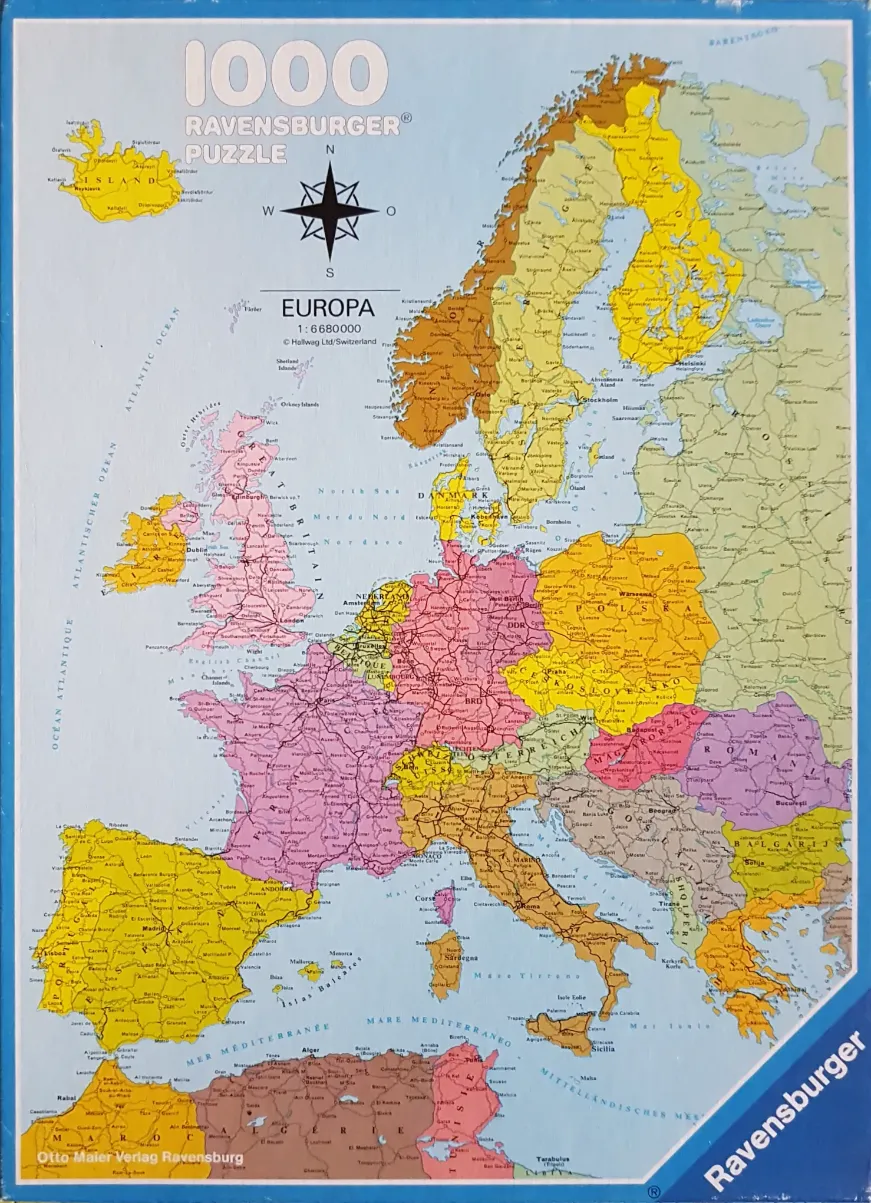
This is a detailed political map of Europe, presented as an educational illustration. The map depicts the continent with various countries shaded in distinct pastel tones—including yellow, pink, purple, and orange—to differentiate national borders. A separate, smaller inset of Iceland is positioned in the upper-left corner, while the northern coast of Africa appears in the lower section, illustrating the Mediterranean basin.
The composition is clean and functional, typical of an atlas or textbook diagram. Fine black lines indicate borders, major roads, and rivers, with a multitude of place names for cities, towns, and regions densely packed across the landmasses. A prominent compass rose is located in the upper-center, providing geographical orientation. The surrounding oceans and seas are rendered in a light, neutral off-white or cream color, ensuring the focus remains on the terrestrial regions.
The overall aesthetic is muted and clear, prioritizing legibility over artistic flare. The color palette relies on soft, desaturated hues that distinguish regions without causing visual clutter. Typography throughout the map is crisp, with varied font sizes used to denote political importance, such as capital cities compared to smaller settlements. The map reflects the geopolitical boundaries of a specific historical period, featuring labels such as 'DDR' and 'BRD' for East and West Germany, marking it as a vintage reference piece.