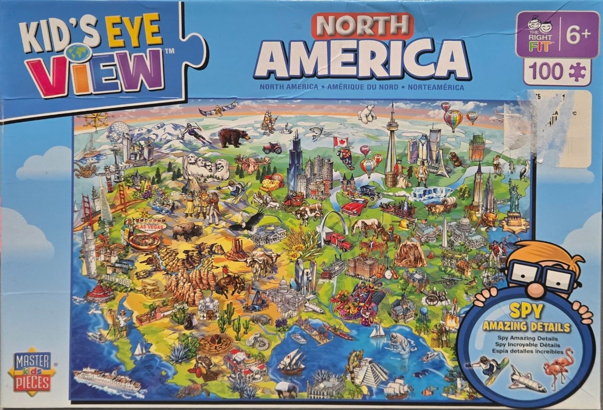
This illustration provides a playful, high-angle map view of North America, densely packed with iconic cultural and geographic features. The map is arranged to show major cities, monuments, and natural wonders scattered across a stylized version of the continent. Prominent landmarks include the Statue of Liberty, the Gateway Arch, Mount Rushmore, and the Hollywood sign, all rendered in a friendly, cartoonish artistic style.
Compositionally, the scene spans the entire continent, from the snowy Arctic regions at the top down through the diverse landscapes of the United States and into Mexico and the Caribbean. The layout is intentionally cluttered, encouraging viewers to find specific items, wildlife, and figures hidden within the topography. An assortment of transportation methods—from hot air balloons and airplanes to classic cars and steamboats—adds a sense of movement and travel throughout the land.
The color palette is vibrant and cheerful, utilizing bright blues for the surrounding oceans and varied earth tones for the diverse landscapes, including arid deserts, lush green forests, and jagged mountain ranges. The lighting is bright and uniform, reflecting the upbeat, educational tone of the artwork. The scene is finished with a variety of regional details like cacti, bison, polar bears, and tropical flora, creating a comprehensive and lively representation of the continent's rich variety.