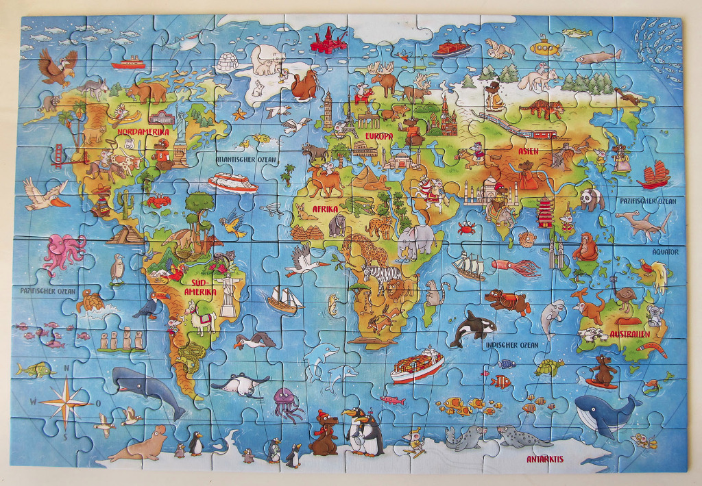
This whimsical, illustrated world map displays the continents in varied, soft earth tones against a vibrant blue ocean background. Each continent is labeled in German, such as Nordamerika, Afrika, and Asien. The map is densely populated with cartoon-style animals indigenous to their respective regions, including polar bears in the Arctic, giraffes and elephants in Africa, kangaroos in Australia, and various whales, dolphins, and sharks throughout the vast blue seas.
Beyond wildlife, the composition features iconic global landmarks scattered across the landmasses, such as the Statue of Liberty in North America, the Eiffel Tower in Europe, the Taj Mahal in Asia, and the Sphinx in Africa. The layout is expansive and playful, incorporating additional details like ships, trains, and a compass rose in the lower-left corner. The style is bright and kid-friendly, utilizing bold outlines and flat, cheerful colours.
The overall mood is educational and adventurous, designed to engage viewers with geography through visual storytelling. The light is even and consistent, typical of a storybook illustration, highlighting the variety of life and culture across the globe. Each oceanic region is also explicitly labeled, framing the central landmasses within a clear, navigational-style context.