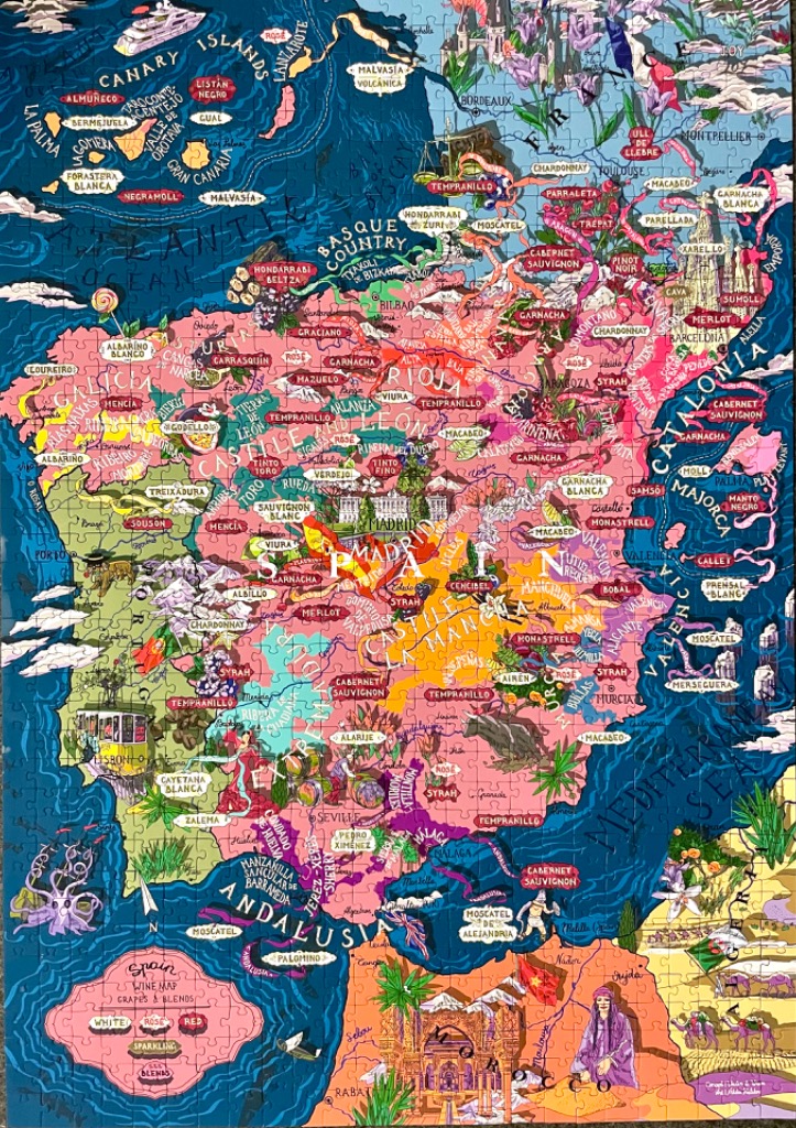
This highly detailed, illustrated map depicts the Iberian Peninsula, focusing on Spain's diverse wine regions, grape varieties, and cultural landmarks. The central landmass is rendered in varying shades of pink, representing different administrative regions, while the surrounding Atlantic Ocean and Mediterranean Sea are deep shades of blue. The map is densely packed with text identifying specific grape names like Tempranillo, Garnacha, and Albariño, alongside major cities and landmarks such as Madrid, Barcelona, and the yellow tram iconic to Lisbon.
The artistic style is whimsical and vibrant, reminiscent of a colorful travel guide or atlas illustration. Small, stylized drawings are scattered throughout, including depictions of bulls, traditional dancers, local architecture, and clusters of grapes. A decorative legend in the lower-left corner categorizes the wine types, further emphasizing the map's culinary theme.
The overall color palette is warm and saturated, with the pinks of the landmass providing a stark, playful contrast to the deep blues of the surrounding water. Light, fluffy clouds dot the peripheral seas, and the composition is busy yet organized, encouraging the viewer to scan the map to discover the many small, thematic icons nestled within the borders of each region.