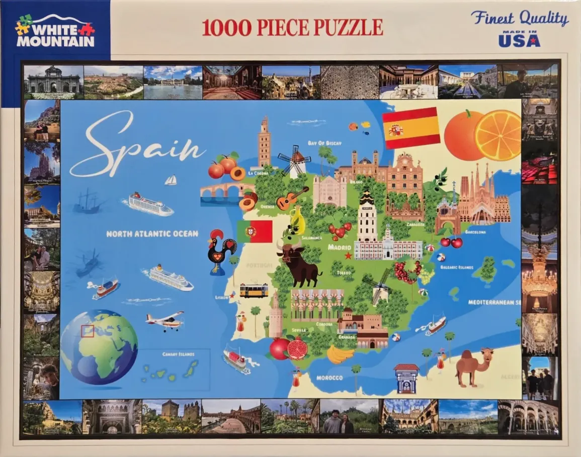
This illustration features a whimsical, colorful map of Spain set against a bright blue background representing the surrounding oceans. At the center, the Iberian Peninsula is rendered in soft shades of green, dotted with iconic architectural landmarks like the Sagrada Família in Barcelona and various towers, palaces, and windmills. Playful elements are scattered across the map, including a bull, a guitar, a rooster, and assorted Mediterranean fruits like oranges and pomegranates. Labels indicate major cities and neighboring countries, with the flag of Spain flying prominently in the upper right.
The composition is framed by a photographic montage that runs along the top, bottom, and side edges of the image. These small, rectangular panels showcase high-quality photographs of historical monuments, ornate interiors, bustling streets, and diverse landscapes found throughout Spain. The contrast between the central graphic-style map and the border of photographic snapshots creates a comprehensive visual travel guide.
The overall color palette is vibrant, using cheerful blues, leafy greens, and warm earth tones for the buildings and landmasses. The light is bright and flat, characteristic of a cheerful travel map designed for exploration and learning. Small icons like airplanes, cruise ships, and a globe in the corner enhance the theme of travel and tourism, making the layout feel busy, educational, and inviting.