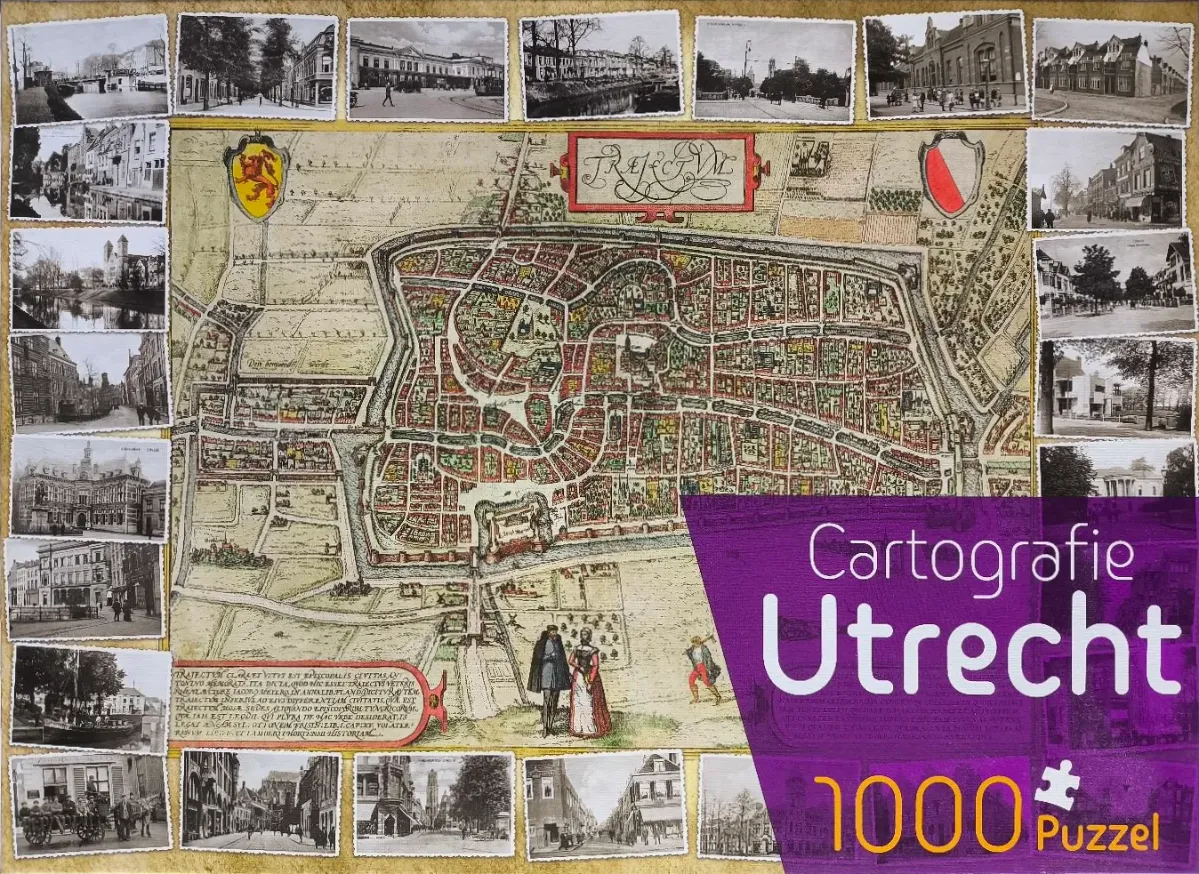
The central focus of the image is an antique cartographic map of the city of Utrecht, presented in a classical 17th-century style. The map features a top-down, hand-drawn aesthetic, showcasing the city's dense network of streets, buildings, and canals enclosed within protective fortifications. The map is decorated with historical heraldic shields and ornate calligraphic banners that include Latin inscriptions. A small foreground scene at the bottom depicts three figures dressed in period-appropriate attire standing in a field outside the city walls.
The map is framed by a border of approximately twenty-four small, black-and-white vintage photographs featuring various street scenes, buildings, and canals from the city's past. These photographs have a slightly distressed, antique appearance, resembling postcards or archival records. The contrast between the saturated, warm tones of the yellowed parchment-style map and the monochromatic photography creates a distinct visual distinction between the historical cartography and the illustrative snapshots of the city's built environment.
The overall mood is one of historical exploration and nostalgia, highlighting the evolution of the cityscape. The color palette of the map relies on muted earthy tones—soft yellows, faded reds, and greens—while the surrounding images are strictly high-contrast black, white, and gray. The composition is balanced, with the map serving as a clear anchor surrounded by the modular, repetitive framing of the peripheral historical photos.