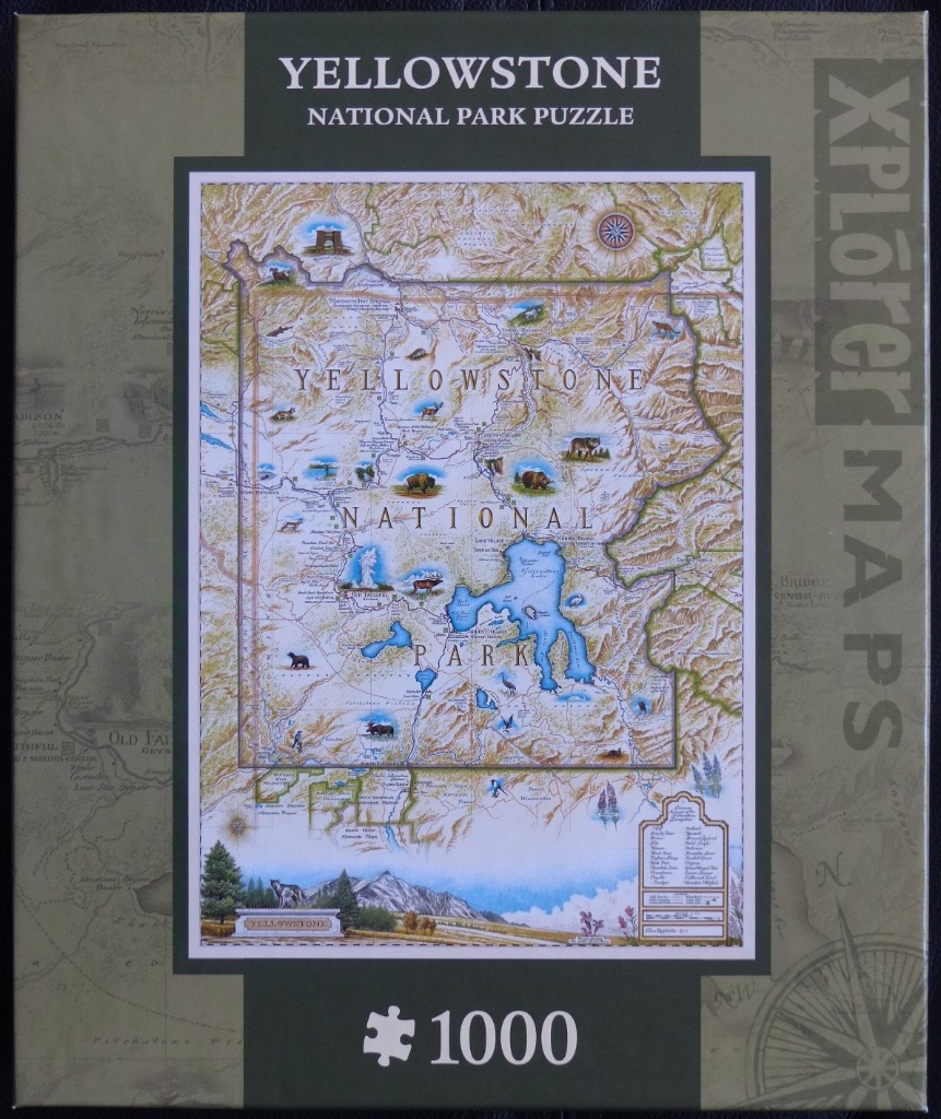
This detailed, hand-drawn illustration presents a cartographic view of Yellowstone National Park. The map is rendered in an artistic, vintage style, showcasing the park's topography with shaded relief to denote mountainous terrain. A vibrant blue Yellowstone Lake sits prominently in the lower-right quadrant, serving as a primary focal point. The surrounding geography is filled with fine lines representing rivers, trails, and roads, with labels for various geysers, basins, and peaks dispersed throughout.
Interspersed across the map are small, high-detail color illustrations of iconic wildlife and landmarks. These include a bison, grizzly bear, elk, moose, bald eagle, and wolf, along with representations of the Roosevelt Arch and geothermal features. The color palette consists of soft, earthy tones—ochres, tans, and greens for the landscape—contrasting with the bright, bold blues of the waterways. A compass rose sits in the top right, while a decorative legend and an entrance sign graphic are situated at the bottom.
Beneath the main map area, a panoramic landscape illustration shows the park entrance sign framed by evergreen trees and snow-capped mountain peaks, providing a scenic foreground. The overall aesthetic is that of a classic, explorer-style parchment map, blending geographic accuracy with whimsical, nature-focused artistry. The composition is balanced and educational, inviting close inspection of the various species and locations marked across the sprawling national park.