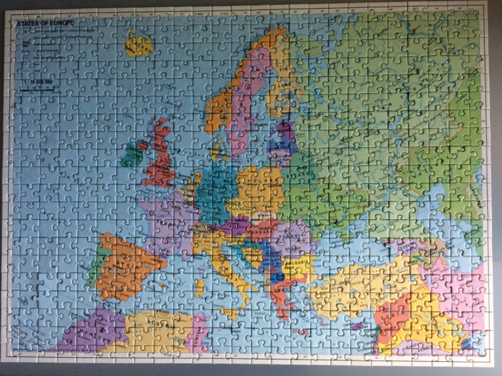
This image displays a political map titled "STATES OF EUROPE." The map encompasses the entire European continent, extending from the Arctic in the north to the Mediterranean, Northern Africa, and the Middle East in the south and east. Major bodies of water including the Atlantic Ocean, North Sea, Baltic Sea, Mediterranean Sea, and Black Sea are depicted in a consistent, pale sky-blue.
Individual countries are colour-coded in various pastel hues, including soft pink, light yellow, mint green, and periwinkle blue, allowing for clear visual distinction between borders. The map includes detailed cartographic information such as national capitals, major cities, and internal administrative regions. A coordinate grid with latitude and longitude markers frames the perimeter of the image, and a scale bar is located in the upper-left corner.
The style is that of a traditional educational or reference map. The colour palette is muted and professional, designed for readability rather than artistic flair. The typography is clear and standard, providing place names throughout the continent. The composition is a standard Mercator-style projection, filling the frame edge to edge to provide a comprehensive geographical overview of the region.