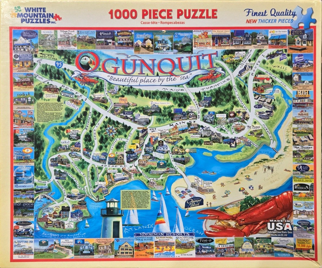
This detailed pictorial map illustrates the town of Ogunquit, Maine. The center of the image is dominated by a stylized road map of the area, featuring winding green roads, forested hills, and bright blue waterways. Numerous local businesses, inns, and historic sites are depicted as small, vibrant illustrations placed along the streets. A large, stylized lighthouse stands at the base of the image along the Atlantic Ocean, while a massive, realistic lobster claw and body are positioned in the bottom right corner, partially overlaying the coastline.
The map is surrounded by a border of dozens of individual photographs showcasing specific Ogunquit landmarks, hotels, and points of interest. These thumbnails provide a visual catalog of the region's architecture and scenery. The central title, "OGUNQUIT," is written in large, playful lettering adorned with artistic flourishes like a puffin and another lobster. A subtle compass rose is situated near the center of the town’s layout.
The art style is a blend of folk-art illustration and collage, using a bright, saturated palette dominated by greens, blues, and sandy yellows. The lighting is even and clear, typical of an informational souvenir map. The overall composition is dense and informative, balancing the schematic road network with iconic coastal imagery, effectively serving as both a travel guide and a visual tribute to the seaside destination.