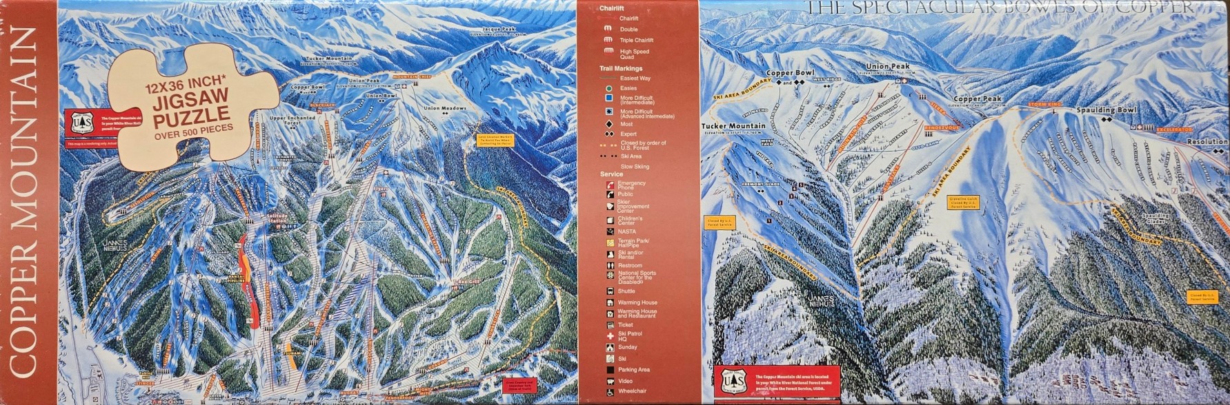
This panoramic illustration provides a detailed overhead view of a mountainous ski resort, split into two main sections depicting various peaks, slopes, and forest terrain. The left panel showcases a broad landscape including Union Peak, Union Meadows, and the surrounding lower bowls. The right panel focuses on "The Spectacular Bowls of Copper," highlighting high-altitude areas like Copper Bowl, Copper Peak, and Spaulding Bowl. The steep, rugged topography is defined by jagged ridges and deep, shadowed valleys.
Technically a trail map, the artwork uses a high-contrast style typical of cartographic illustrations. The snow-dusted slopes are marked with numerous thin lines representing ski trails, color-coded to indicate difficulty levels from green to double-black diamond. Thin, winding lines show the placement of chairlifts that navigate up the inclines. Dense, dark green evergreen forests fill the lower elevations, creating a sharp contrast against the bright white snow of the high ridges.
The overall palette relies on cool, wintry tones of deep blues, bright whites, and forest greens, contrasted by warm red sections that house the legend and textual information. The perspective is slightly aerial, looking down upon the vast expanse of the mountainside. Small text labels identifying peak elevations, individual run names, and boundary markers are scattered across the composition, making the image highly informative and dense with geographical detail.