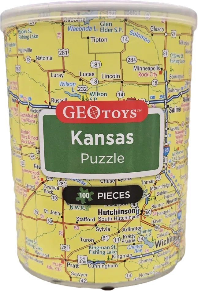
The central focus is a detailed road map of the state of Kansas, printed on a bright yellow background. The map displays a dense network of state highways marked with route numbers, major towns, and geographic markers such as fishing lakes and state parks. The layout provides a top-down cartographic perspective, typical of a standard highway atlas, showing regional connections across the central and southern parts of the state.
Overlaid on the center of the map are graphic elements resembling highway signage. A large, green rectangular sign with rounded corners features white text reading "Kansas." Below this, a secondary black horizontal banner emphasizes the product details. The overall color palette is dominated by the pale yellow of the map background, contrasted by deep red, green, and black signage elements that draw the eye toward the center of the cylinder.
The aesthetic is functional and instructional, characteristic of educational geographic materials. The lines representing roads are crisp and dark, creating a stark contrast against the light-colored surface, while various place names and numerical indicators are distributed uniformly across the visible area, providing a dense, informative visual experience.