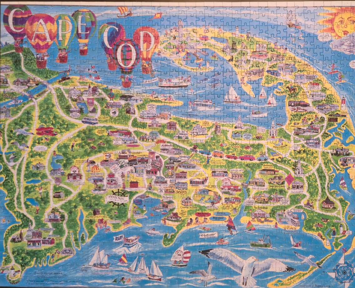
This illustrated pictorial map depicts the geographic region of Cape Cod, rendered in a whimsical, colorful folk art style. Dominating the upper section of the image are several large, vibrantly patterned hot air balloons floating above the peninsula, while the bold, decorative text "CAPE COD" is integrated into the sky. A golden, stylized sun with a face shines in the upper right corner, casting a cheerful light over the scene.
The map is densely packed with miniature illustrations of local buildings, towns, and landmarks, connected by a network of winding roads. Lush green wooded areas contrast with the sprawling blue ocean surrounding the landmass. Numerous small boats, including sailboats and fishing vessels, populate the water, and a prominent, detailed seagull flies across the lower foreground, anchoring the composition.
The colour palette is bright and inviting, dominated by varied shades of ocean blue, grassy green, and the warm, earthy tones of the town buildings. The style is distinctly illustrative, characterized by clean lines and a playful perspective that highlights diverse attractions. Small nautical details, such as a compass rose in the bottom right corner and numerous seagulls throughout, complete this charming, vacation-themed artistic representation of the coastline.