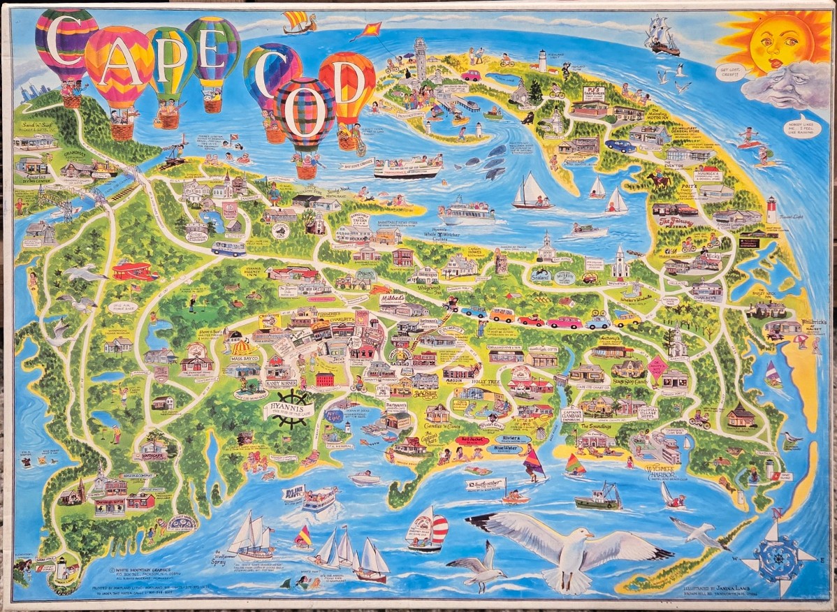
This whimsical, stylized pictorial map depicts the Cape Cod peninsula surrounded by a vibrant blue Atlantic Ocean. The artwork is packed with miniature illustrations of iconic local buildings, businesses, and recreational sites connected by a network of winding roads. Hovering above the landmass in the upper left corner are several colorful, patterned hot air balloons, while the upper right corner features a personified sun with a face and a grumpy-looking rain cloud nearby.
The composition is an overhead bird's-eye view, creating a busy and playful topography of the region. The color palette is bright and cheerful, dominated by the cerulean blue of the surrounding water and the varied greens of the wooded areas and golf courses. Contrasting colors highlight individual shops and inns, with small cartoon figures and vehicles scattered across the map to provide a sense of activity and charm.
The illustration uses a cartoon-like medium with bold outlines and flat, saturated colors typical of souvenir cartography. Details such as boats sailing in the harbors, seagulls soaring in the foreground, and a decorative compass rose in the bottom right corner complete the scene. Text labels for specific locations and towns are dispersed throughout, contributing to the dense, information-rich aesthetic of this hand-drawn style map.